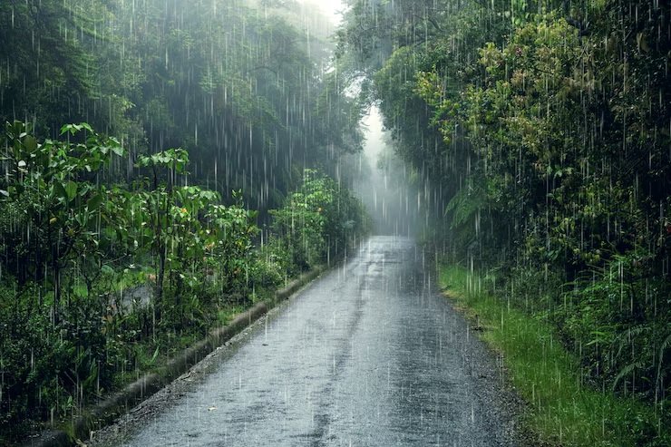
Heavy monsoon rains expected in many states
02-Jul-2025 11:46 AM

New Delhi. The rain-driven low pressure area remains positioned over Jharkhand. Due to its influence, very heavy rainfall occurred in several parts of eastern India, the adjoining east-central region, and the northwestern states during the last 24 hours, and this trend is likely to continue.
According to the Meteorological Department, the low pressure system will gradually move westward by July 2 and cover the entire western and northwestern parts of Jharkhand, potentially causing more heavy rain in these areas. A large monsoon trough has become active due to this system and is receiving ample moisture from the Bay of Bengal.
According to the Indian Meteorological Department (IMD), the main monsoon trough—considered the backbone of the monsoon system—is currently dense and dynamic across the northern half of the country.
At present, this trough stretches from Sri Ganganagar to Rohtak, Kanpur, Varanasi, Jharkhand, and Digha. This alignment is expected to bring very heavy rainfall to these regions and may also contribute to the formation of another circulation over the Bay of Bengal.
Numerical model predictions suggest this trough will remain active from Rajasthan in the west to the Bay of Bengal in the east through the end of the current week.
Additionally, a secondary trough is present over northwestern Uttar Pradesh, with one end connected to the low-pressure cyclonic circulation over Jharkhand, which is also likely to bring heavy rain to the region.
Areas that received torrential rainfall of more than 20 cm in the last 24 hours include eastern Uttar Pradesh, Himachal Pradesh, and western Madhya Pradesh.
For July 2, the Meteorological Department has issued alerts for very heavy rain in Madhya Pradesh, western Uttar Pradesh, and eastern Rajasthan. Monsoon activity is expected to remain strong across northwestern India.
